Halifax County Rivers*
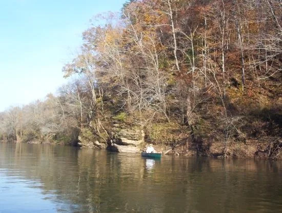
Canoeing the Staunton River between Brookneal and the Clarkton Bridge.
Halifax County provides a tremendous variety of paddling options; each of its four rivers has a distinctive character, and its two lakes and several creeks provide further unique trips.
The Banister and Hyco rivers are the two major tributaries which flow into the Dan in Halifax County, and each offers miles of paddling opportunities. The Banister enters Halifax County from Pittsylvania near Hermosa, and has two public boat landing and four bridge crossings in the county, which make it possible to paddle the following stretches:
1. Mt. Airy to Leda (10 miles, 4-5 hours)
2. Leda to Meadville (6 miles, 2-3 hours)
3. Meadville to Halifax (10.5 miles, 5 hours)
4. Halifax to US 360 (5 miles, 2-3 hours)
5. US 360 to Wolftrap (3 miles, 1 - 1.5 hours)
The Hyco enters Halifax County from the southwest and is canoeable for 24 miles from Harmony to Buggs Island Lake, in the following stretches:
1. Harmony to US 501
2. US 501 to Hyco Road
3. Hyco Road to 738
4. 738 to US 58
5. US 58 to Bugg’s Island Lake
The Dan River* is the major tributary of the Staunton and has three public boat landings in Halifax County and access at one bridge crossing, which divide the river into the following stretches:
1. Milton to Leggett’s Pace’s (14 miles, 4 hours)
2. Pace’s to South Boston (15 miles, 5-6 hours)
3. South Boston to Staunton River State Park (13 miles, 4-5 hours)
*Of historical note, the Dan River was once incorrectly labled "Fitzwilliam" in the Moseley Map of 1733. This error came from the North Carolina faction of the 1728 survey of the survey headed by Colonel William Byrd and of which Edward Moseley was one of the North Carolina commisioners. It is unknown why he labled the Dan River Fitzwilliam on his A New and Correct Map of the Province of North Carolina five years later and it is the Banister that is call Fitzwilliam on the commisioner's map.
"There was a well-defined cleavage among the Virginia commissioners; Byrd, William Dandridge, and surveyor Mayo composing one faction, Fitz-William and Irvine the other. Fitz-William objected to the employment of as many men for the expedition as Byrd desired." After conciliation " The North Carolina commissioners, in recognition of his sympathy with their contentions, named on their map of the survey that tributary of the Dan now known as the Banister, Fitz-William River, while the Virginia commissioners, strange to say, left no tracing of the stream on their map, which was prepared by Surveyor Mayo."
A major tributary of the Dan is Aaron’s Creek, which is canoeable for eight miles before it merges into Bugg’s Island Lake. It has one boat landing and one bridge crossing access, making it possible to paddle Aaron’s Creek in two stretches:
1. Virgilina to US 58
2. US 58 to Bugg’s Island Lake
The Staunton River is the best-known and most popular destination for paddlers. It forms the northern and eastern border of Halifax County for more than 50 miles before it merges with the Dan to form Buggs Island Lake. Its famed whitewater is found in the stretch between Long Island and Brookneal. There are two public boat landings on the Halifax County side of the river and two on the opposite shores in Campbell County.
These divide the paddling into five stretches:
1. Long Island to Brookneal (11 miles, 4-5 hours)
2. Brookneal to Clarkton Bridge (6 miles, 2-3 hours)
3. Clarkton Bridge to Watkins Bridge (22 miles, 8-9 hours)
4. Watkins Bridge to US 360 (8.9 Miles, 3-4 hours)
5. US 360 to Staunton River State Park (12.3 Miles, 4-5 hours)

Staunton River Batteaux Float Day
In the late 1980's a group of enthusiasts from The Virginia Canals and Navigations Society, more familiar with the James and the Appomattox Rivers than the Staunton, brought their batteaux to Long Island for a demonstration run to Brookneal. In the photo above, crews are seen checking out their boats in preparation for the difficult 11 mile journey to take place the next day.
Navigating this section of the Staunton River requires a lot of skill as well as a bit of luck. A knowledge of the precise location of the channels and sluices is essential to the safe passage of the batteaux - as many a present day paddler can attest.
Citing damage and undue wear and tear on their boats, the event was discontinued by the Society after several yearly excursions.
Site content contributed by D.K. Barnes - December 9, 2003.
*The Halifax County Historical Society thanks Dan Shaw for the use of the above information.